Tagged: Albania
DIY Oil Spill Simulation
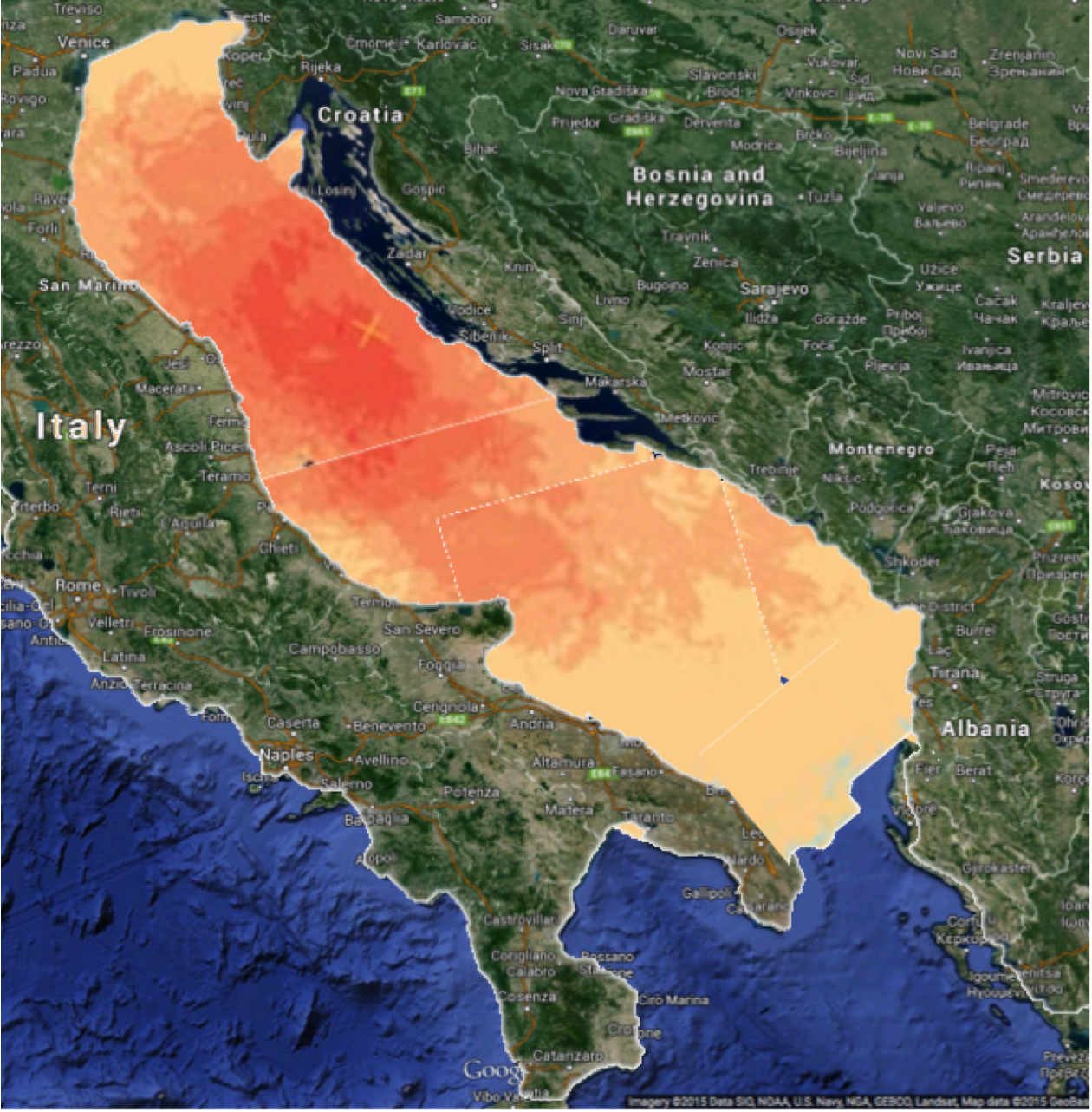 I’m currently looking for a contract (hint :) but today was not my normal day where I wake up, have a coffee, watch a bit of TV, then start looking for something… Because part of my start is checking out Social Media, where I came across this piece The only oil that goes with a Croatian bikini is olive! by teresafritschi via @JenniferSertl, one of the great global connectors. I’d encourage you to read the piece first, not only for the context of why I did this, but as to why you should be concerned that the oil industry and politicians will probably wreck the Adriatic in the next decade!
 Now to the graphic – how did I do it and what is it’s validity? In short, I used PowerPoint to strip out backgrounds and scale things correctly so I could transpose the BP Oil Spill graphic (from One-fifth of juvenile Atlantic bluefin tuna killed by BP oil spill) on to Google Maps. All you have to do is “go” to New Orleans and adjust the scale on your Google Map so it’s the same scale as as the graphic’s one:
 Once you have this, you can go to anywhere in the world (e.g. Croatia) and just underlay that graphic in to the sea – how do we do that?
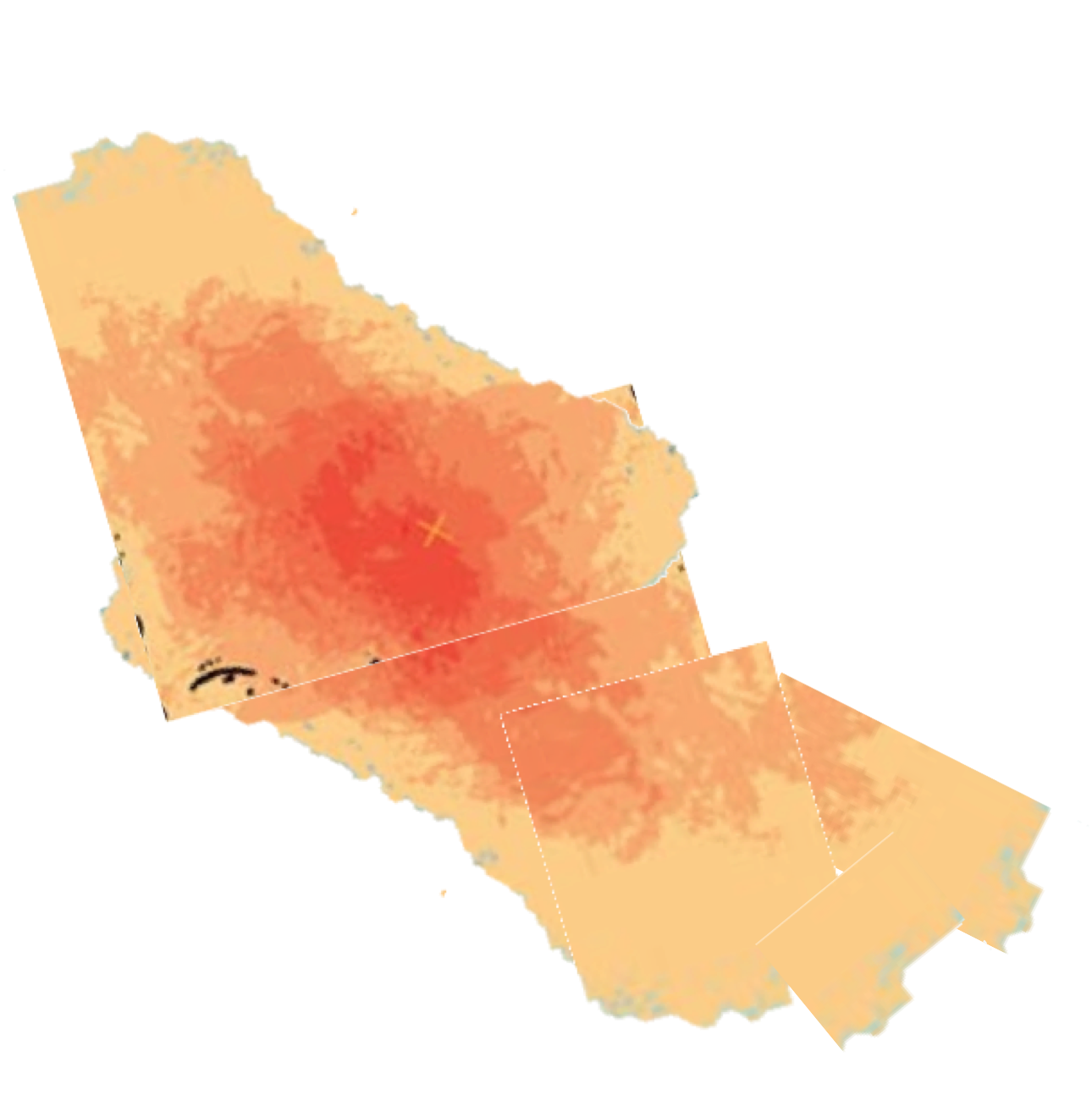
First, you use a clever little feature that PowerPoint has called “Remove Background”. Firstly, you use it on the Oil Spill to remove the “Background”, which PPT thinks is the faintest part, so on that graphic it’s the map – Voila!
 Now you have that, set the transparent colour and you can rotate and transpose it to your hearts content so it fits under your map graphic
There’s a bit of Art and Science in doing this – the key things I did for Croatia were align it with the coast and ‘reflect’ it so you have the same phenomena as on the top-right of the original Oil Spill because it’s in a sheltered area and so is the Adriatic. Just in case anyone questions this, I’ve been deliberately conservative as I actually think an oil spill could be even worse in the Adriatic as it’s effectively a confined space!
 Once you have your underlay, how do you put it under the map? That’s where we go back to our friend from PPT, “Remove Background” – you’ll probably have to play about with it a bit this time (as the contrast between sea and land is not as obvious). You can now put together your final image as shown below by simply setting the layer order correctly.
All up, this probably took about an hour as it’s a bit of a fiddly process, but for a cause like Saving the Adriatic, it was well worthwhile.
Furthermore, if anyone’s drilling just off your coast, you can now do your own visualisation of what the impact may be on yourself and neighbouring countries ;-)


You must be logged in to post a comment.